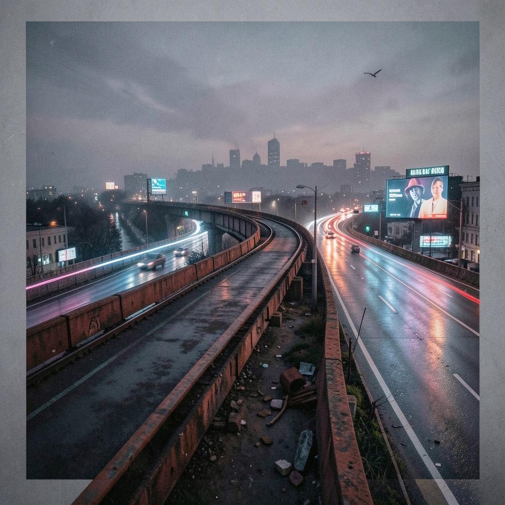
The second act of the Chicago "L" story shifts from the era of "Boodle" and steam to the era of concrete, highways, and the "Transit Desert." If the first half was defined by the raw greed of private titans, the second half was defined by the cold, often exclusionary logic of mid-century urban planning. The Era of the "Median Strip" (1950s–1960s) In the 1950s, Chicago’s legendary planners—most notably Ralph Budd and Virgil Gunlock—realized the "L" couldn't survive in its 19th-century form. However, instead of expanding the footprint of the tracks, they decided to marry the train to its greatest rival: the automobile. This birthed a global first: The Congress (now Blue Line) Forest Park branch. Completed in 1958, it was the first rapid transit line built into the median of a multi-lane expressway. The Design: It was efficient, sleek, and fast. The Human Cost: By placing stations in the middle of roaring highways, the CTA traded neighborhood intimacy for transit speed. Passengers now had to descend long, desolate ramps and stand on narrow islands surrounded by exhaust fumes and 70-mph traffic. The Displacement: Thousands of homes and businesses in the path of the Eisenhower Expressway were demolished, further isolating West Side communities from the very trains intended to serve them. The "Ghost Stations" and the Great Contraction While the city celebrated the new Dan Ryan and Kennedy extensions in the late '60s and early '70s, a quiet "pruning" was taking place elsewhere. The CTA, perpetually underfunded, began a policy of "deferred maintenance" that turned many stations into hazards. Between 1970 and 1990, dozens of stations were shuttered. Often, these were the "low-performing" stops in Black and Brown neighborhoods. The Green Line Crisis: In 1994, the entire Green Line was shut down for a two-year "rehabilitation." Many feared it would never reopen. When it finally did, several historic stops remained closed forever, leaving "gap miles" where residents could see the tracks but couldn't board the trains. The 1993 Pivot: The Orange Line The last major "new" expansion was the Orange Line to Midway Airport in 1993. It was a rare success story of adaptive reuse, built largely on existing railroad rights-of-way. Unlike the "Alley El" of the 1890s, this was planned with modern drainage, noise mitigation, and accessibility. It proved that the "L" could still drive economic growth—but it also highlighted the glaring lack of a similar connection to the Southeast Side, which remains a massive transit void to this day. The Modern Dilemma: Steel vs. Social Equity Today, the "L" faces a reckoning with the very geography Charles Yerkes created.Conclusion: A Monument of Contradictions The "L" is not just a transit system; it is a physical map of Chicago's power struggles. You can see it in the tight curves of the Loop that squeal with Yerkes’ ghost, and in the empty lots where "Alley El" stops once stood. It remains a beautiful, gritty, loud, and essential machine—built by villains, saved by bureaucrats, and used by millions who simply need to get across a city that was never quite designed for them. The tracks are old, the "boodle" has changed its name to "lobbying," but the "L" remains the iron heartbeat of Chicago. How does this "gritty" perspective change the way you view other major American transit systems—like New York's Subway or Boston's "T"?
